
Cycling routes around Malalcahuello
Malalcahuello is a quaint rural town situated in a beautiful valley of the Andes mountains in the central-south of Chile. It is surrounded by forested mountains which in winter turn completely white with snow creating a stunning landscape.
Cycleway Manzanar to Malalcahuello
Passing through this beautiful valley the cycleway was constructed along a disused railway line that once connected the towns of Victoria to Lonquimay. The cycleway has a distance of approximately 12km and connects the thermal baths and township of Manzanar with Malalcahuello.
It has a slight rise in altitued between Manzanar and Malalcahuello with a total height variation along route of 142 metres. In reality the difficulty of the trip depends on the wind strength and direction. It was constructed out of road base and has a loose cap of gravel so is better with a mountain bike, although it can be done on a road bike.
Unfortunately, there are several places along the cycleway where one must cross the highway and each crossing is on a blind corner. One must dismount, listen for approaching vehicles then hurry across the road. It would be great if the authourities fixed this issue to make it safer.
Cycleway of Lonquimay
Starting in the rural city of Lonquimay, the cycleway winds along the banks of the Bio Bio River, close to where it begins it´s journey to the sea. The distance is 30km of generally flat terrain, as it follows the route of the steam train from a bygone era of active forestry which once drove the economy of the region.
The cycleway ends in the Tunnel “de los Raíces”. This is a one way tunnel that was built over a 10 year period in 1929 for the steam train that was to connect the Pacific and Atlantic oceans. This was never achieved and the tunnel was converted to allow vehicles to pass,however, it does not permit bicycles to pass through. As it is controlled by traffic lights and a toll, the cyclist must wait and hope that a waiting truck or 4WD will be willing to take them through to the other side. The tunnel was once the longest in South America, 4.5km
Mountain chalets Chile Wild – Las Vertientes de Malalcahuello, offer an excursión with vehicle support of this route, https://www.chilewild.com/es/excursiones-guiadas/#1593192829023-a6ca74f2-1bdf
Volcano Lonquimay, Malalcahuello Reserve
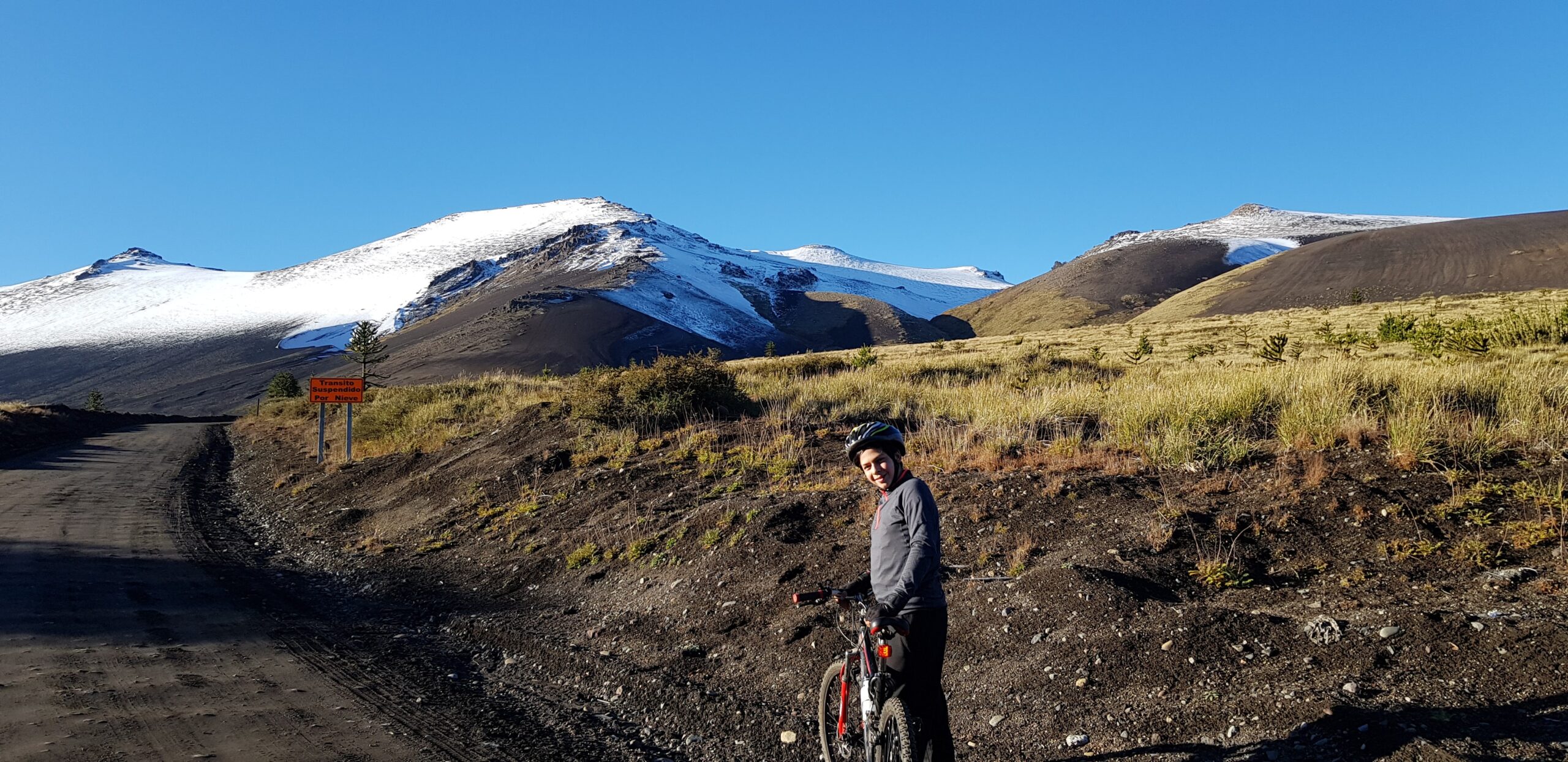
This route borders the volcano inside the National Reserve Malalcahuello and is suitable only for mountain bikes in summer. It commences at the carpark of the eastern entrance to the Reserve where there is an administration building staffed by CONAF park rangers who administer the Reserve. Here they ask visitors to register when they are doing tekking or excursions. There is also a bathroom available to visitors during business hours. The starting point is approximately 10km from Malalcahuello.
From the starting point it is all uphill to the lookout which marks the turning point prior to returning in what is an exhilirating downhill ride of some 5.8km. The start is asphfalt but changes to dirt road at the bifurcation where one can go to the Hotel Corralco to the left, straight ahead to the ski centre carpark or the right, to go to the lookout. You will be sharing the route with vehicles so be aware of oncoming traffic and the dirt road has sections of corrugations making it a more challenging ride, particularly the downhill. The road continues on past the lookout, eventually arriving at a small town called Troyo. On the return you may wish to stop at the Hotel Corralco for refreshments. They have a cafe/bar where you can order snacks at any hour and they also have a restaurant and a couple of souvenir shops.